WHAT WE DO...
Providing Precision Mapping Products & Services
At Aerotopos, we provide precision topographic products, imagery, and mapping services that meet or exceed industry standards.
We adhere to the most stringent, established processes to ensure that all our products meet or exceed the American Society of Photogrammetry and Remote Sensing, (ASPRS), Federal Geographic Data Commitee, (FGDC), and National Mapping Standards, (NMAS) for content and accuracy.
Aerotopos Gallery
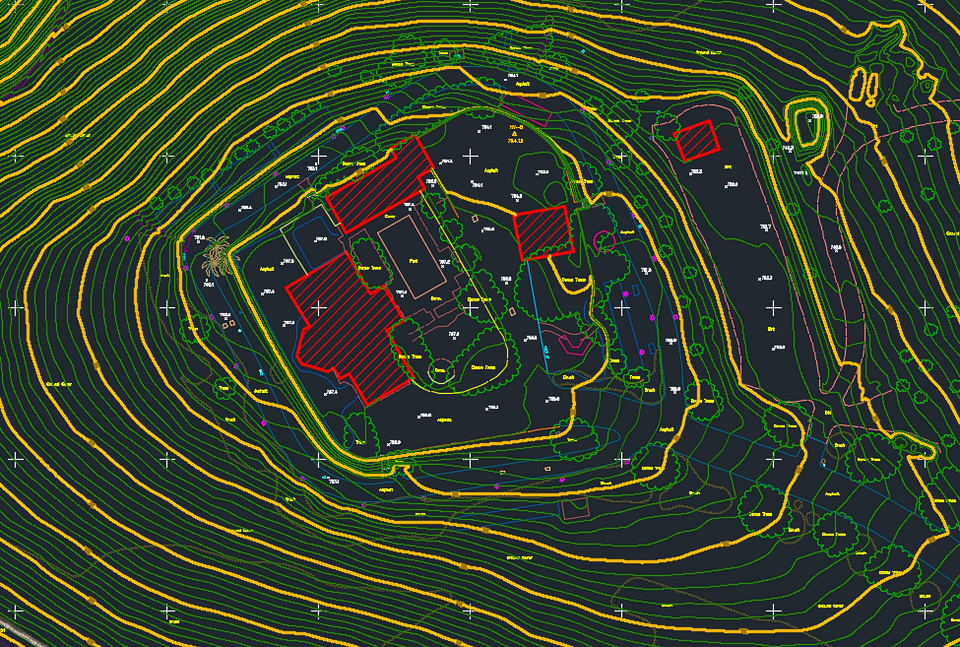
Explore our high-resolution aerial imagery and precision mapping products showcasing our attention to terrain detail and spatial accuracy. Learn more about each of these maps below.
Project Workflow
What to expect when partnering with Aerotopos.
01.
REQUEST A QUOTE
Contant us to get a quote. Be sure to provide us with details about your project so that we can start working on a quote.
02.
REVIEW & ACCEPT QUOTE
Take time to review the services and pricing. If everything meets expectations, accept the quote and make the first payment to move forward with the process.
03.
AQUIRE IMAGERY & DATA
Securely upload all necessary project data. We'll ensure the data is properly formatted and ready for mapping.
04.
AEROTOPOS GETS TO WORK
Our experts get to work on your project, applying the latest technology and industry best practices to deliver high-quality results.
05.
QUALITY ASSURANCE
Before delivering the final product, we take time to carefully review maps to ensure accuracy and compliance with project specifications and accuracy standards.
06.
RECIEVE MAPS
Send notification that your final mapping products are ready for download and insure that you are completely satisfied with every aspect of your project.


